Geographical Info
Iran (also known as Persia), officially the Islamic Republic of Iran is a country in Middle East which is located in western Asia. It is bordered to the north by Armenia, Nagorno-Karabakh Republic, Azerbaijan, Kazakhstan and Turkmenistan and Russian across the Caspian Sea; to the east by Afghanistan and Pakistan; to the south by Persian Gulf and the Gulf of Oman and to the west by Turkey and Iraq. Comprising a land area of 1,648,195 km2 (636,372 sq. mi), it is the second largest nation in the Middle East and the 18th largest in the world. With 78.4 million inhabitants, Iran is the worlds 17th most populous nation. [Wikipedia]
- The geographic coordinate of Iran is 32°00′N 53°00′E.
- Highest point of Iran is Mount Damavand (5,610 m) which is an inactive volcanic peak and lowest point is Caspian Sea (-28 m). The topography of Iran is shown in the map below:

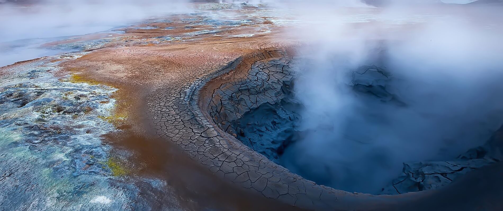
- The Lut Desert (North-East of Kerman province) is the hottest place on earth according to NASA data collection in 2005 with the highest temperature overall: 70.7°C (159.3°F). [NASA]